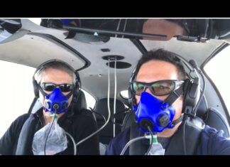
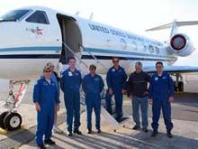
 Pilots depend on accurate weather forecasts, and many of those forecasts originate with NOAA, the National Oceanic and Atmospheric Administration. This week, NOAA is launching an effort to improve the accuracy of forecasts released 24 to 96 hours before a winter storm. A high-altitude Gulfstream IV jet will fly out of Honolulu to acquire atmospheric data from severe winter storms that originate over the Pacific Ocean. The jet will fly extended patterns over the north Pacific and drop meteorological instruments into developing winter cyclones and snowstorms. Data from these instruments will be used in NOAA’s most sophisticated forecasting models to improve warnings of severe weather events. “Our NOAA aircraft crew, made up of pilots, flight engineers, meteorologists and electronic technicians, is prepared to fly north of Hawaii on a daily basis as the winter storms intensify over the Pacific. The storms we profile will affect areas from California and the Pacific Northwest to the U.S. East Coast,” said Jack Parrish, G-IV program manager and flight director. Two Air Force Reserve WC-130J aircraft will fly missions out of Anchorage, Alaska, through March 12 in conjunction with the NOAA jet. Past experiments have shown that the missions can improve accuracy for individual targeted events by as much as 80 percent.


