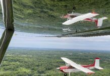
The Civil Air Patrol (CAP) launched 15 aerial photo sorties over the weekend as part of the effort to assess damage caused by Hurricane Ida. The CAP Louisiana Wing, which began its assessment flights last week, was joined by two aircraft from the Texas Wing and one from the Tennessee Wing. CAP is working in partnership with the Federal Emergency Management Agency (FEMA) and the Louisiana Governor’s Office of Homeland Security and Emergency Preparedness (GOHSEP) for the mission.
“We very much appreciate the support and technical expertise provided by the crews and aircraft from our sister wings, Texas and Tennessee,” said the Louisiana Wing commander Col. Patrick Yglesias. “It has certainly enabled this wing to more rapidly and more efficiently respond to the tasks given it by FEMA and GOHSEP.”
According to CAP, the images will be used to “produce a highly detailed mosaic of the target area, which will then be delivered to emergency responders.” Hurricane Ida made landfall on Aug. 29 near Port Fourchon, Louisiana, with sustained winds of 150 MPH. Early estimates of the storm damage are coming in at tens of billions of dollars.

















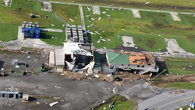

Be nice if this and other post-storm satellite imagery was immediately available to residents. Pending physical access, which can be delayed by road, utility stabilization, gives an early heads up on the scope of one’s personal impact, allowing for either some relief or realistic planning.
No great surprise, media isn’t resourced or interested in this, they get their dramatic pix of boats/cars piled up like cheerios or neighborhoods blown apart, run the same images a few times and then move on to the next disaster.
For Sandy, after waiting out any rescue ops and checking for TFRs/other airspace restrictions, and with nearby airport manager for refueling/ramp conditions/traffic, picked up a volunteer videographer and ran a grid pattern over our area that could be covered in a flight, posted the videos and let folks know it was there. The video was horribly bouncy due to turbulence and lack of specialized stabilization, but every house in the grid got a couple frames that allowed residents to see if their home was intact(-ish) and still at the same address.
When floods hit my hometown a couple of years ago, someone took a drone over the affected neighborhoods, took pictures of each street and posted them on Facebook. It was very easy to go and see if your house had any damage.