















Alaska Air National Guard crews rescued three occupants of a Cessna 180 following an Aug. 18 accident near Bettles, Alaska, about 200 miles northwest of Fairbanks. The Alaska Rescue Coordination Center opened the mission after receiving a signal from the aircraft’s 406 MHz emergency locator transmitter and requested assistance from the 176th Wing.
Updated Coordinates
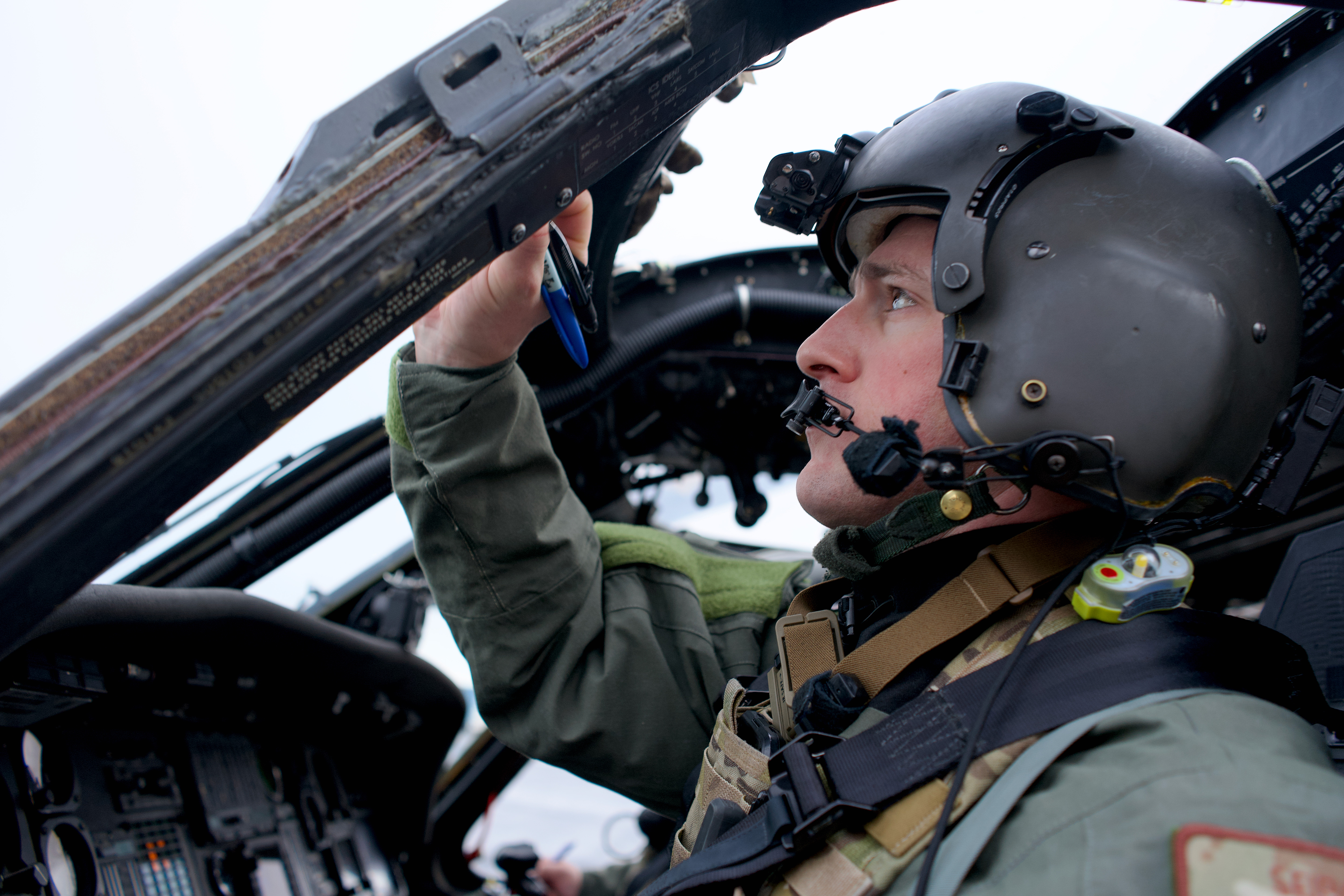
A 210th Rescue Squadron Detachment 1 HH-60W Jolly Green II departed Eielson Air Force Base carrying pararescuemen from the 212th Rescue Squadron. While the helicopter was proceeding toward the position transmitted by the ELT, the crew received updated coordinates from a commercial two-way satellite communication device used by the aircraft occupants. The occupants had sent the location to a Bettles lodge owner, who relayed it to the rescue crew.
“It minimizes the time searching for someone in the Alaska wilderness,” Maj. Tyler Seibold, a 210th Rescue Squadron pilot, said in an Alaska National Guard release. “So, if their medical condition is dire, that is extra time that we can get treatment on the patient.”
Three Transported To Fairbanks
The helicopter crew located the accident site and lowered the pararescuemen to the ground a short distance from the occupants to reduce rotor-wash exposure. One occupant was placed in a Stokes litter and hoisted aboard the helicopter before the other two occupants were recovered. All three were transported to Fairbanks Memorial Hospital.
According to Seibold, a satellite communication device can sometimes provide rescuers a location accurate to within about one-tenth of a mile, while coordinates from a 406 MHz ELT can require crews to search an area extending a mile or more. He also noted that many satellite devices can exchange text messages when paired with a smartphone, allowing rescue personnel to obtain information about occupant condition and conditions at the accident site before arriving.
“[The plane’s occupants] did everything they could by the book, and that really cut down on how long it took us to get to them and get them to a higher level of medical care,” he said.


The article fails to mention that a 406 ELT receiving GPS input (from the avionics) has the same 100m precision as the “handheld communicator” (Garmin InReach, Spot, or Zoleo). The avionics have to be on and reporting a GPS position at the time of ELT activation for this to be of any benefit, but the omission of GPS-integrated ELTs in this article is glaring.
Further, it’s worth noting that InReach, Spot, and Zoleo include a dedicated SOS function that alerts a rescue coordination center. Best-practice would be to use the SOS function, not to message a friend.
Agreed. My passengers are briefed on the location of the InReach and how to use its SOS feature.
Yes, I advocate a SAT emergency device, a classic is the deLorme/Garmin inReach which has text message capability.
It was on board a bus that rolled into a ravine on the Bamfield Main Road south of Port Alberni BC. Saved much of the half hour otherwise taken by a passing vehicle driving to PA and notifying (took some time to figure the device out, apparently, and responding operator a bit slow to grasp where nearest agency was). No cellular telephone coverage at location, vehicle could probably reach ahead when closer to PA.)
The latest cellular telephones have some ability to send emergency signal using satellite frequencies, not just cellular service.
That was a sub-standard road, much use by logging trucks equipped with VHF radios - they stop at wide spots to let others pass. Some bus services have VHF radio.
Bus driver moved over a bit to let an oncoming vehicle pass, front wheel dropped into soft shoulder, bus rolled into ravine - after a tumble or two stopped by trees. But two students were ejected, died (few occupants had seat belts on).
BMR.
Soft shoulder results from grader smoothing road, pushes scraped material to side - periodically a grader blades material out of the shoulder and spreads back onto road. (The road has been improved since but is still a remote gravel road.
Worse is a detour to middle of BMR from Youbou on Lake Cowichan, a fourbye delight but used by convoys when BotCheap failed to properly fight forest fire on the main highway to PA. Fire was on a bluff, ideal for air tanker attack IMO, the Mighty Mars were no longer active - based on Sproat Lake west of PA.)
Yes, say emergency then follow up with text giving details.
Some devices have had levels of ability, with levels of price of service. One was oriented to simply letting friends and relatives know where you are (thus your progress on trip and that you are OK).